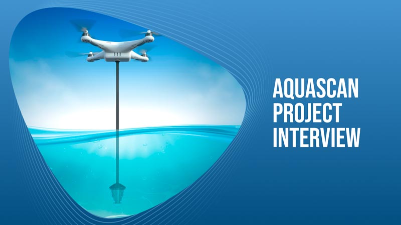
The Aquascan project that we are developing will be an incredibly valuable tool for us here at Ocean Builders as well as many other companies around the world. The goal of the Aquascan project is to create detailed maps of the seabed floor, starting in the areas where our SeaPods will be deployed, and then hopefully all around the world.
The world’s oceans are incredibly vast and still very mysterious to us. Humans have explored less than 10% of the oceans, and still, we have only thoroughly explored a fraction of that percentage. We have better maps of the Moon and Mars than we do of our own oceans, so there is still a huge amount of work to do in ocean exploration.
Aquascan will provide the necessary technology to make that job considerably easier. Using Sonar, LiDar, cameras, and other sensors to essentially create the Google Maps of the sea. We will utilize underwater drones that will be able to navigate and investigate the area without disturbing the ecosystem. As the cameras and sensors are scanning the environment, they will be creating topographic maps of the ocean floors so that we can see the exact depths, the structure of the seafloor, any obstructions that may be there, and any marine life like coral reefs.
We will use these maps when considering locations to deploy SeaPods. In a similar way to how you may look at a topographic map before clearing a plot of land to build a home, we will be checking to make sure that our home will not disturb the marine life in the area. Since it is a huge priority for us that we stay eco-neutral or eco-positive, we want to know exactly what is below where we are deploying these homes.
In addition to not harming the ecosystem, we want to ensure that the area is safe. If we deploy a SeaPod in an area where there are underwater obstructions that may not be easily seen like rock structures, reefs, or even something like a sunken boat, then it could be potentially dangerous not only for the home but for those jumping into the water to swim. This technology will also allow SeaPod-dwellers to see what is beneath their home, and monitor the changes over time as the ocean currents possibly rearrange the area.
While we know this technology will benefit us here at Ocean Builders, we also feel that developing this system will be a huge help for the global initiative of mapping as much of the ocean food as possible.
If you have expertise or knowledge in mechanical or electrical engineering, drone technologies, sonar or LiDar sensors, artificial intelligence, or any other field and you feel that could help develop this project, then feel free to reach out on our website on the Contribute page or on our Wiki in the Contributors Guide.
